
Treks by
March to June and September to November (Snowfall can be seen in December–February if you like winter landscapes.)
By Train: The nearest railway station is Kathgodam (approx. 68 km). By Air: The nearest airport is Pantnagar (approx. 115 km). By Road: Well-connected by road from Nainital (60 km), Almora (45 km), and Delhi (360 km) via NH-109.
{}
1,869 meters
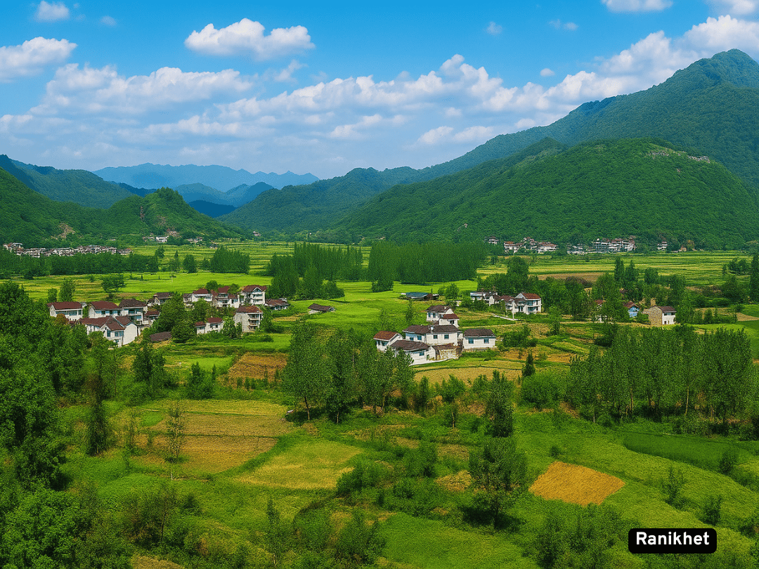
Ranikhet, nestled in the Kumaon region of Uttarakhand at an altitude of 1,869 meters, is a serene hill station renowned for its lush pine forests, colonial-era charm, and panoramic Himalayan views. The name “Ranikhet” means “Queen’s Meadow,” and legend says a Kumaoni queen was so enchanted by its beauty that a palace was built for her here.
Detailed information about Ranikhet, Uttarakhand
Ranikhet was established as a British cantonment town in 1869 and served as a summer retreat for colonial officers escaping the heat of the plains. Although there is no physical palace, legend has it that a Kumaoni queen once visited the area and was so captivated by its beauty that her king built a residence here—hence the name “Ranikhet” (Queen’s Meadow). The town remains home to the Kumaon Regiment of the Indian Army, with a museum preserving its legacy.