
Treks by
March to June and September to November
By Road: Easily accessible by local taxi or a scenic walk from Mall Road. Nearest Bus Station: Mussoorie Bus Stand (~6 km) By Rail: Nearest railway station is Dehradun (35 km), followed by a 1.5-hour drive. By Air: Nearest airport is Jolly Grant Airport, Dehradun (60 km)
{}
2,275 meters
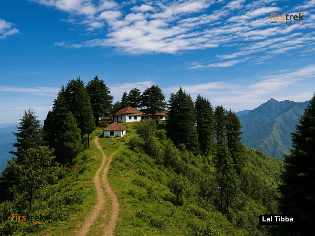
Lal Tibba, meaning "Red Hill," is the highest point in Mussoorie, situated at an elevation of approximately 2,275 meters (7,464 feet) above sea level. Located in the quaint cantonment town of Landour, about 6 kilometers from Mussoorie's Mall Road, this scenic viewpoint offers panoramic vistas of the snow-capped Himalayan peaks, including Kedarnath, Badrinath, and Nanda Devi.
Breathtaking Views: On clear days, visitors can use telescopes installed at the viewpoint to get a closer look at the majestic Himalayan ranges.
Historical Significance: Lal Tibba has a rich colonial history, having served as a summer retreat for British officials. The area still retains its old-world charm with British-era cottages and bungalows.
Tranquil Environment: The serene ambiance, coupled with the lush greenery and colonial architecture, makes it a perfect spot for relaxation and nature walks.
Sunrise and Sunset Views: The location is renowned for its mesmerizing sunrise and sunset views, where the sky paints a canvas of vibrant hues over the mountains.
Lal Tibba has a legacy rooted in the colonial era when Mussoorie served as a summer retreat for British officers. Established in the early 19th century, this area was part of the British cantonment town of Landour, known for its strategic altitude and cooler climate. Many colonial-era bungalows, churches, and cemeteries still exist, showcasing Gothic and British hill architecture. The name "Lal Tibba" (Red Hill) is believed to be inspired either by the red soil or the dramatic red hues that bathe the hill during sunrise and sunset.