
Treks by
Spring to Early Summer: March to June – Pleasant weather with clear skies, making it perfect for sightseeing and trekking. Post-Monsoon to Autumn: September to November – Crisp air and panoramic views of the Himalayas.
By Road: Gwaldam is well-connected by motorable roads from major towns and cities in Uttarakhand: From Delhi: Approximately 370 km; a drive of around 10–12 hours. From Rishikesh: About 220 km; scenic route through the Garhwal Himalayas. From Nainital: Around 190 km. From Kausani: Approximately 36 km. From Baijnath: About 22 km. From Bageshwar: Approximately 45 km. By Train: The nearest railway station is Kathgodam, located about 210 km from Gwaldam. By Air: The closest airport is Pantnagar Airport, approximately 245 km away.
{}
1,700 meters
Gwaldam is a quiet and scenic hill town nestled between the Garhwal and Kumaon regions of Uttarakhand, located near Joshimath. Surrounded by dense pine forests, apple orchards, and snow-capped Himalayan peaks, Gwaldam offers a peaceful retreat for travelers seeking solitude and natural beauty. Positioned at an altitude of around 1,700 meters, this lesser-known destination provides stunning views of Nanda Devi, Trishul, and Nanda Ghunti peaks. Gwaldam is also a gateway to several treks like the Roopkund Trek, Kuari Pass, and Sunderdhunga Valley. Its quiet charm, coupled with its spiritual ambiance—highlighted by temples like Badhangarhi Temple and Angyari Mahadev—makes it a perfect blend of adventure and peace.
Tucked away in the lap of the Garhwal Himalayas, Gwaldam is a peaceful hill town located near Joshimath in the Chamoli district of Uttarakhand. Perched at an altitude of approximately 1,700 meters, it offers a breathtaking panorama of majestic Himalayan peaks like Nanda Devi, Trishul, and Nanda Ghunti.
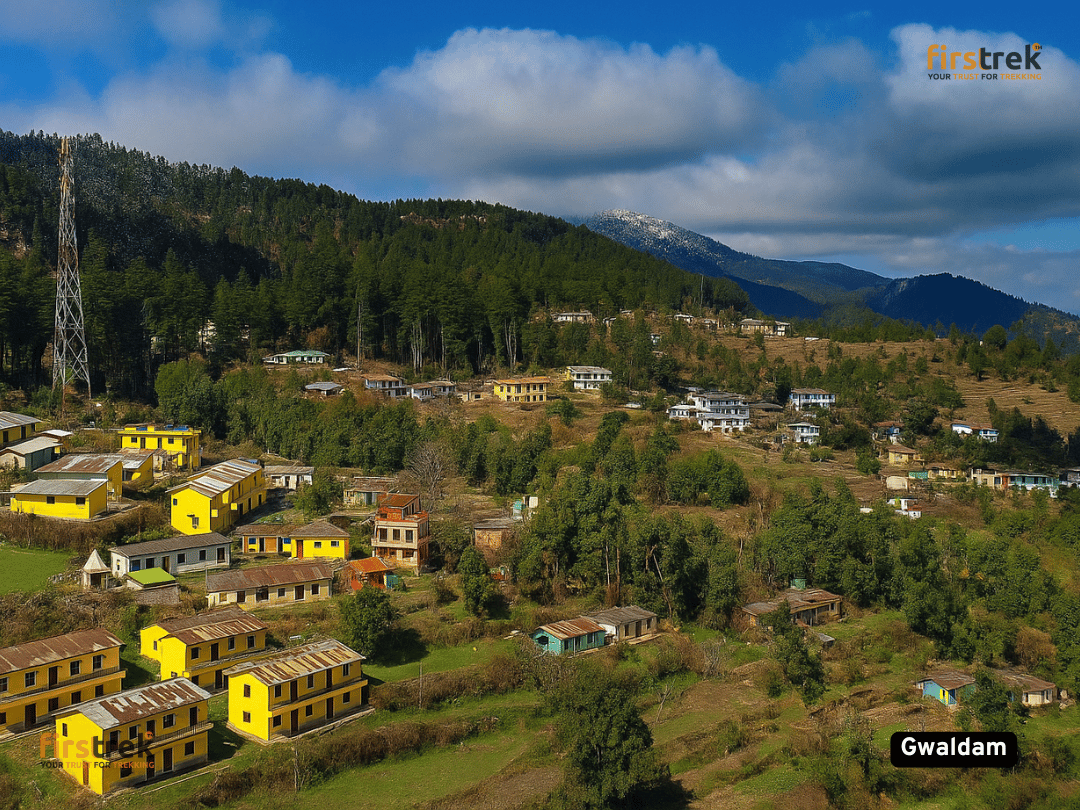
Gwaldam is an ideal destination for nature lovers, trekkers, and those looking to escape the crowds. The town is dotted with pine forests, scenic meadows, terraced fields, and charming wooden houses that reflect the simplicity of mountain life. It serves as a base for several high-altitude treks including Roopkund, Kuari Pass, and Sunderdhunga Valley.
Gwaldam, perched at an elevation of approximately 1,700 meters, has historically been a strategic point between the Garhwal and Kumaon regions. This positioning made it a focal area for various battles and power struggles between the Garhwal and Kumaon kingdoms. Notably, in the late 16th century, the Chand king Rudra Chand launched an expedition against the Garhwal king, leading to significant conflicts in the region. The area also witnessed the influence of the Katyuri dynasty, with remnants of their rule evident in local architecture and temples. In the 20th century, Gwaldam gained prominence as a base for the Indo-Tibetan Border Police (ITBP) and the Sashastra Seema Bal (SSB), with training centers established for strategic purposes. The town also became a hub for environmental movements, notably the Maiti Movement initiated in 1994, promoting eco-awareness through tree planting rituals by newlyweds.